About us
INTRODUCTION ABOUT DISTRICT 12
District 12 was announced to be established on April 1, 1997 under Decree No. 03/CP dated January 6, 1997 of the Government on the establishment of Thu Duc District, District 2, District 7, District 9, District 12 and other districts. Wards in the New Districts of Ho Chi Minh City on the basis of the entire area of Thanh Loc, An Phu Dong, Tan Thoi Hiep, Dong Hung Thuan, Tan Thoi Nhat communes, a part of Tan Chanh Hiep commune; part of Trung My Tay commune in Hoc Mon district before. Total natural land area is 5,274.89 hectares, the current population is over 622,500 people, of which permanent population is 288,603 people, temporary residence is over 333,900 people (according to the results of the 2019 Census).
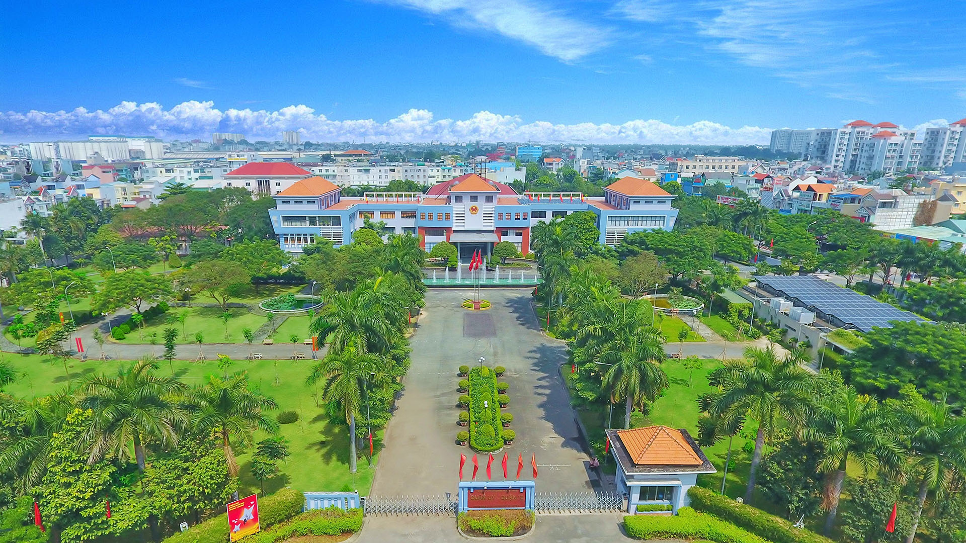
District 12 is located in the north of Ho Chi Minh City with the following geographical location: to the north, it borders Hoc Mon district; the East borders Binh Duong province, Thu Duc district; In the South, it borders Tan Binh, Go Vap and Binh Thanh districts; the West borders Binh Tan district; Ba Diem commune. There are 11 wards directly under:
- Thanh Xuan: area of 968.58 ha.
- Hiep Thanh: area 542.36 ha.
- Thoi An: area 518.45 ha.
- Thanh Loc: area 583.29 ha.
- Tan Chanh Hiep: area 421.37 ha.
- Tan Thoi Hiep: area 261.97 ha.
- An Phu Dong: area of 881.96 ha.
- Central America West: area 270.63 ha.
- Tan Thoi Nhat: area 389.97 ha.
- Dong Hung Thuan: area 255.20 ha.
- Tan Hung Thuan: area 181.08 ha, separated from Dong Hung Thuan ward (including Quarter 6, Quarter 7 and part of Quarter 4, Quarter 5) according to Decree 143/2006/ND- CP dated 23/11/2006 of the Government.
In the history of opening the realm of the Vietnamese people, Hoc Mon - Ba Diem was discovered very early. According to the meager historical records, right from the beginning of the 17th century from 1623 - when Lord Nguyen set up a tax collection station in Saigon, the population living in this area was quite large. Under the Nguyen lords and Nguyen dynasties, Hoc Mon belonged to Tan Binh district in 1698. Tan Binh district at that time was more than 11,000 square kilometers, or more than one-fifth of the entire southern region (63,058 square kilometers) stretching from the right bank of the Saigon River to the south. left bank of Vam Co river. When Tan Binh district changed its name to Phu (in 1808) including 4 districts, Hoc Mon belonged to Binh Duong district. In 1841, when the Nguyen Dynasty established Binh Long district, Hoc Mon belonged to this new district. After occupying the South as a colony, the French set up new administrative units in the land they ruled, called counties, then counties, and districts of Hoc Mon under Saigon's deputies.
Although it is a land in Saigon county, Hoc Mon is not an urbanized area, it is still a rural area. The colonial government built Highway 22 running through Hoc Mon to Tay Ninh, to Phnom Penh to serve the colonial exploitation policy. By the time the US intervened in the South and invaded our country with the new colonial policy, they built the Dai Han Highway (today's outer ring highway) running through Hoc Mon district from east to west. Many inter-provincial roads connecting Saigon with the eastern provinces were built… All these traffic works are intended to serve the strategic goals of the US and the puppet government, not to urbanize and develop the region's economy. Northwest Saigon. The French colonialists and the American imperialists plotted to turn Hoc Mon into a belt and shield to protect the northwest of Saigon. The history of this land for more than 100 years since the first French colonialist set foot in Saigon in 1859 and the last American imperialist fled on a helicopter at dawn on April 30, 1975, affirming his role. The role of the eighteen hamlets of betel nut garden is the red belt of the national liberation revolution with historical landmarks such as Ba Diem - An Phu Dong - Red Areca Garden.
District 12 has a favorable geographical position with arterial roads, which is the gateway to the City, connecting the surrounding areas and other localities with the city center. District 12 is also surrounded by the Saigon River to the east, which is an important waterway. In the future, this place will have a railway running through.
Selected by the City as a pilot to build a smart city, and along with the results achieved in the past years, District 12 has many favorable conditions and opportunities for socio-economic development, accelerating the process. urbanization, towards industrialization and modernization.